


Map of the Exodus and the wilderness years
Read the Exodus in stages, from the departure from Egypt to the plains of Moab, and see which places can be located on a map.
Scripture traces Israel's journey from Rameses in Egypt to the plains of Moab across from Jericho. The map marks a proposed area for Kadesh Barnea. The sea crossing and Mount Sinai have no agreed location. Exodus 12:37-42Numbers 33:36-49

Select a name on the map or choose a stop below.
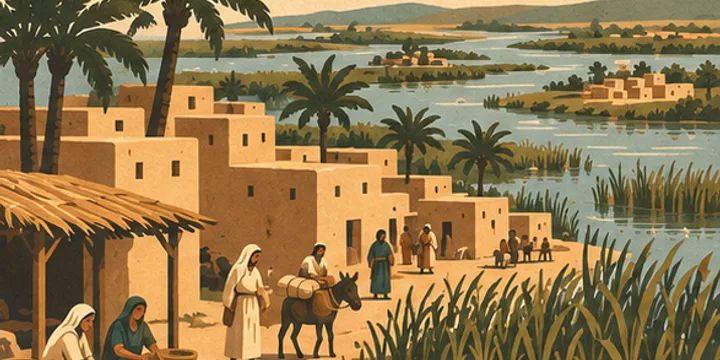
1 of 5 · The wilderness years
Eastern Nile Delta
The Israelites leave Rameses for Succoth. The pin shows the broader delta region.
The movement is schematic. The sea crossing and Mount Sinai have no agreed location. Those scenes remain unpinned. The animation connects the commonly proposed area of Kadesh Barnea with the plains of Moab. The line bends around Edom to illustrate the direction in Numbers 20 and 21. The exact route is unknown.
Take the map to your next study
Illustration, geographic reference and Scripture passages.
Places and events on the map
The wilderness years
1Eastern Nile Delta
The Israelites leave Rameses for Succoth. The pin shows the broader delta region.
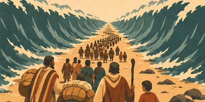
2The sea crossing
The Israelites cross on dry ground. The passage does not establish a location that can be pinned with confidence.
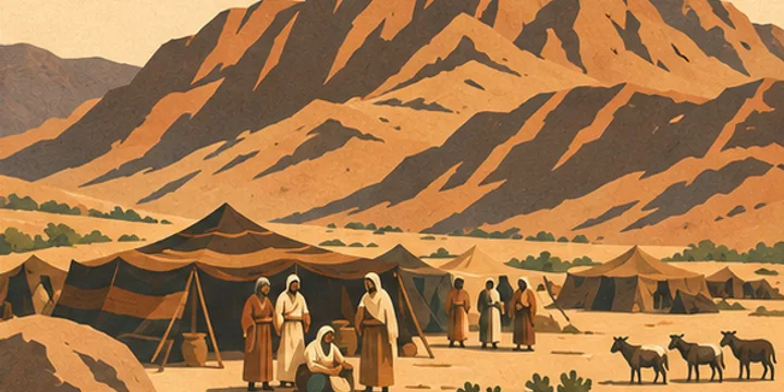
3Mount Sinai
Israel camps before the mountain, where God speaks to Moses and calls Israel to keep the covenant.
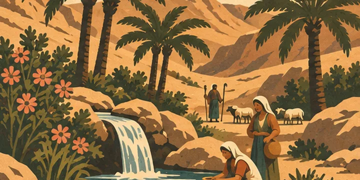
4Kadesh Barnea
The scouts return to Kadesh and report what they saw in Canaan. The pin marks the commonly proposed area.
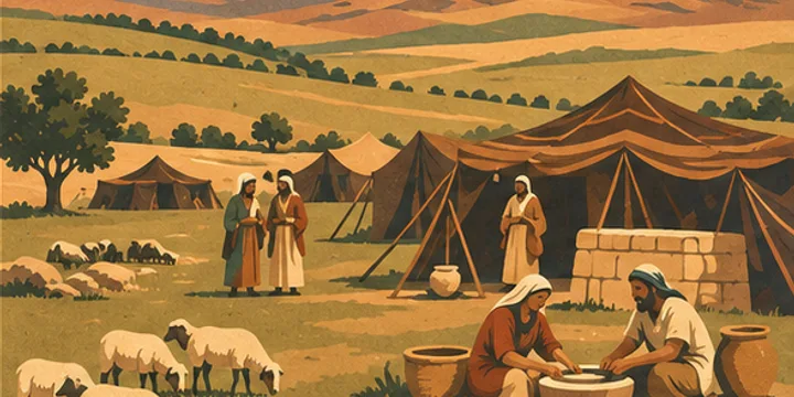
5Plains of Moab
Israel camps across the Jordan from Jericho. Numbers ends its list of wilderness camps here.
FAQ
Can we trace the exact route of the Exodus?
The biblical account names camps and regions, but several locations are disputed. The map animates the connection from the proposed Kadesh Barnea area to the plains of Moab. The sea crossing and Mount Sinai remain unpinned.
Where does the wilderness map end?
It ends on the plains of Moab, across the Jordan from Jericho, where Israel camped before entering Canaan. See Numbers 33:48-49.
Why is Kadesh Barnea marked as approximate?
The map uses a proposed location for Kadesh Barnea. It shows the general direction of travel from that area to Moab.
Which passages describe the final wilderness stages?
Numbers 21 describes part of the journey toward Moab. Numbers 33 lists the camps and ends on the plains of Moab.
Sources
- The painted landscape is schematic.
- Natural Earth. Coastline data.
- OpenBible.info. Biblical place identifications and source notes.
- Numbers 21. General direction of travel in the wilderness.
- Israel Antiquities Authority excavation report. Proposed location of Kadesh Barnea.


